

- A+
- A
- A-
Introduction
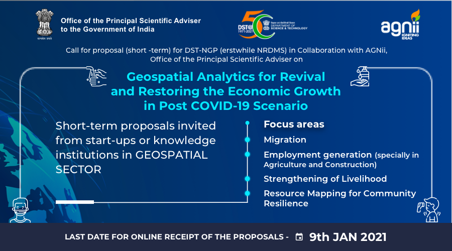
The Department of Science & Technology under its National Geospatial Programme (erstwhile NRDMS) has been Promoting Geospatial Science and Technology, Policy, Solution, capacity building, entrepreneurship, and international cooperation for sustainable socio-economic development at all levels of Governance. Since the start of the COVID-19 outbreak, Geospatial technology has emerged as a key player in tracking and visualizing disease spread both in space and time. However, the COVID-19 outbreak will not have an only a short-term impact but also many long-term socio-economic effects as well. Thus, in this time of crisis, the role of Geospatial information and technology during and Post COVID 19 phases should be in reviving various sectors of the economy.
With this objective in mind and to strengthen the area-specific geospatial analytics capabilities of the country, this department in collaboration with Accelerating Growth of New India’s Innovations (AGNIi) initiative of Office of the Principal Scientific Adviser to the Government of India under the Prime Minister’s Science, Technology, and Innovation Advisory Council PSA office, invites short -term proposals from Geospatial start-ups and knowledge Institutions of the Country. The DST-AGNIi partnership advanced AGNIi’s mandate – to further strengthening the nation’s innovation ecosystem; in this case, within the geospatial sector.
Focus areas
Financial support will be provided to a selected organization focusing on area-specific spatial analytics (including techniques/demonstration etc.) in the sectors of migration, employment generation (especially in agriculture and construction), strengthening of livelihood, resource mapping for community resilience etc. The details are as follows:
Migration
- Urban and regional mobilities: dwell times and movements to assess the situation and identify trends (pattern of migration, reasons for migration, seasonality, nature of work, region-wise wage disparity, problems of access to public distribution system (PDS) food, access to health, children education, living conditions, etc.)
- Convergence, migration and dispersal of population and migrant workers in the view of monitoring health, especially nutrition, carrying mothers and child care during migration
- Digital supply chain maps and analysis for planning and ensuring geographical diversity in suppliers as well as aligning needs with distribution
Strengthening Livelihood and Employment Generation
- Mapping and geo-analysis of reverse migrants for assessment/ of livelihood creation within village/district/state
- Geospatial analytics for Skilling/ reskilling of migrants (job opportunities, increase work efficiency and enhance the quality of their output)
- Resource mapping for community resilience
- Site Suitability Analysis for livelihood creation and survival viz. in gardening, cash cropping, animal husbandry, fishing etc.
- Resource locator in a cluster for skill development training as well as geo-cultural indicators for livelihood such as Bamboo craft, woodcraft, fisheries cluster, Mushroom cultivation, handicrafts of local artisan etc.
- Modelling mitigating the situation for economic sectors such as industry, commerce, transport and agriculture-based upon satellite data
- Modelling import substitution in tier 2/ tier 3 cities aligning with the need of rural catchment area
- Modelling urban unemployment in the service sector and solution there-in
Others
- Development of open source village level Geospatial information platform for villagers, school teachers, students • Modelling/assessing forecast of potential Spread of COVID-19 beyond the lockdown and mitigation (City-centric infection percolation model)
- Predictive risk of each district for COVID-19 through Sewage disposals and environment predictors such as heat, humidity, hygiene, sanitation and other covariates such as age/social distancing
- Deep Reinforcement Learning model using COVID 19 databases to assist in optimal response in a dynamically varying scenario
- Social vulnerability mapping and analysis of COVID-19 impacts for initiating economic activities
- Dependency modelling of healthcare infrastructure (hospitals, quarantine facilities, etc) with interrelated infrastructures such as transportation, water supply, pharmacy/ equipment, food supply etc
- Knowledge representation approaches (e.g. Ontologies) of the causal relationships between disease and geographical settings to enable reasoning for automated decision making
- Geospatial analytics based upon AI/ML for future disaster preparedness
Who can Submit
The proposal can be submitted by the faculty members, scientists, engineers, technologists in permanent positions working in UGC recognized universities, national institutions of research and research management, etc. having requisite qualifications in the field of geospatial analytics. Apart from the knowledge institutions, Startups working in the geospatial analytics domain may also apply. The Startups may also apply in collaboration with a knowledge Institution.
The PI/ start-ups shall have sufficient experience in this field evidenced by published books/ papers, project handled/ field experience, etc.
The last date for online receipt of proposals is 9th January 2021
Other Information
Other Relevant information
Duration and Fund Support
The proposal may be supported for the maximum duration of 06 months-1 year.
IP issues and pilot testing and access for user community
The PI should clearly state the status of the digital product in terms of its access to the user community within the Government or Civil Society or individual user. The nature and extent of the controls resting with the PI / Startup should be clearly specified. The proposal should have a clear plan for a proof of concept and pilot demonstration stage. Preference will be given to proposals using open source software and providing open access to the user (s).
How to Submit
The proposals should be submitted as a single pdf document at https://onlinedst.gov.in/ in proper format as provided at https://onlinedst.gov.in/ and duly forwarded by Head of the Institution/ University.
A non-governmental organization (Deemed and private universities and research and development organization) should be registered at the ngodarpan.gov.in portal of the Government of India before submitting the proposal.
For any other query and submission of the proposal please contact:
Dr. D. Dutta, Scientist ‘G’ & Head / Dr. Shubha Pandey,
Scientist-D, NGP Division (erstwhile NRDMS),
Department of Science & Technology
Technology Bhavan, New Mehrauli Road
New Delhi-110016 (Telefax:011-26851967)
Email: ddutta@nic.in shubha.p@nic.in


Back to Top